
Daliyat al-Karmel
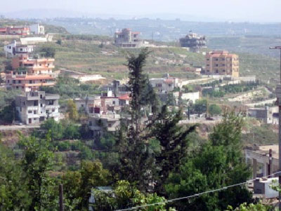
Daliyat al-Karmel is a large Druze town located in Palestine, and it is considered the largest Druze town in the region. The town is situated 31 kilometers southeast of the city of Haifa, at an elevation of about 420 meters above sea level. The name “Daliyat” means grapevine, and its plural is “Dawali.”
The land area of Daliyat al-Karmel is about 31,730 dunums, and it possesses a history dating back over 400 years. The town is surrounded by the lands of other villages such as Isfiya, Ein Hod, Ijzim, and Umm al-Zinat. In 1922, the population of the town was about 993 residents, increasing to about 2,060 in 1945. In 1948, its population reached 2,593, and then rose to about 13,500 in 2003. The origins of the residents of Daliyat al-Karmel trace back to the mountainous regions near Aleppo in Syria. One of the largest families in the town is the Halabi family.
Daliyat al-Karmel also contains an archaeological site featuring foundations, cisterns, tombs, rocks, and rock-cut wine presses, making it a place of significant historical importance.
Isfiya
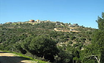
The town of Isfiya is located southeast of the city of Haifa, 14 km away, and rises 518 meters above sea level.
It was established on the ruins of a Byzantine settlement.
In 1922, the population of Isfiya was 733; in 1931, it reached 1,105; and in 1945, the number rose to 1,790, of whom 1,310 were Druze, 180 were Muslim, and 300 were Christian. In 1961, its population reached 2,930. Currently, the population of Isfiya is about 9,000, 70% of whom are Druze, with the remainder being Muslims and Christians.
The town of Isfiya contains several ancient archaeological sites, such as an olive press, for which the town is famous for cultivating, tombs carved into rock, and within the village, there is the shrine of Abu Abdullah.
Shefa-Amr
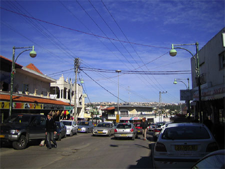
The city of Shefa-Amr is located northeast of the city of Haifa, 20 km away, and rises 100 meters above sea level. The city is built on a Canaanite archaeological site.
In 1881, the population of Shefa-Amr was 2,500; however, this number dropped to 2,288 in 1922 due to the repercussions of World War I. In 1931, the city's population rose to 2,824, and in 1945 it reached 3,640, then decreased to 3,412 in 1948 due to Israel's occupation of the city and the displacement of some of its residents.
In 1973, the population of Shefa-Amr became 12,500, while the number rose to 35,300 according to a census conducted in 2009.
Shefa-Amr is considered a mixed city, where Muslims (57.9%), Christians (27.5%), and Druze (14.6%) live.
Among the ancient monuments and sacred places for the Druze in Shefa-Amr are the Dome, the Khalwa (prayer house), the tomb of Sheikh Abu Arabiya, and the tomb of Sheikh Muhammad al-Anzi.
Maghar
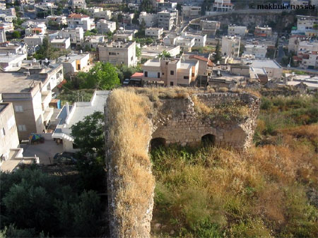
The town of Maghar is located on the southern slopes of Mount Hazon, which rises 584 meters above sea level in a very steep area. Maghar is a mixed town where Druze, Muslims, and Christians live.
The population of Maghar is estimated at about 19,000 according to statistics conducted in December 2006, with Druze representing 58% of them.
Kisra
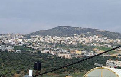
The village of Kisra is located 25 km from the Lebanese border, rises 750 meters above sea level, and is 30 km from the city of Acre. It is an ancient village where caves and tombs carved into rock were found, as well as many grape presses and remnants of an ancient fortress.
The population of Kisra village is about 3,500, all of whom are Druze, and it contains a Khalwa that includes the dome of Sitt Sarah, a sacred carob tree, and the tomb of Sheikh Abu Salih Salman.
Rameh
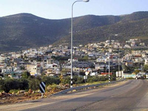
The name Rameh is derived from the Canaanite word "Ram," meaning "the high place." Rameh is located on the southern slopes of Mount Haidar, east of the city of Acre, 29 km away, and rises 600 meters above sea level. Rameh is surrounded by the villages of Beit Jann, Sajur, Nahf, Sakhnin, Maghar, and Kafr Anan. Its population was estimated in 1922 at 748, in 1945 at 1,960, in 1948 at 2,307, and in 1949 at 2,329. Today, the town's population is nearly 7,000 from all sects: 55% Christians, 30% Druze, and 15% Muslims.
The village contains remnants of presses, tombs, pottery, and columns.
Sajur
It is located to the northeast of the city of Acre, 29 km away, and rises 375 meters above sea level. It is built on the site of the village of "Shzur" from the Roman era. Its land area is 8,236 dunums and it is surrounded by the villages of Peki'in, Rameh, and Nahf. Its population was estimated in 1922 at 196, in 1945 at 350, in 1949 at 423, and in 1961 at 600. Its population today is about 9,000.
The village is considered an archaeological site, containing remnants of stones and ancient cisterns.
Yarka
The town of Yarka is located northeast of the city of Acre and rises 325 meters above sea level. It is one of the ancient towns, having witnessed the emergence of the Unitarian Dawah movement in the eleventh century, and was a center for the Dawah in the region. The tomb of Sheikh Abi Saraya Ghanayem, one of the Dawah activists, still stands there today. It also contains the shrine of Joseph the Righteous, the Khalwa in the center of the village, and the Raghab Khalwat 2 km away. Its population today is about 15,000, 98.5% of whom are Druze.
Deir al-Asad
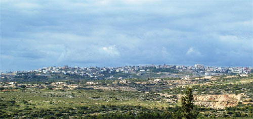
The town of Deir al-Asad was named after a Damascene sheikh who was nicknamed "The Lion" (Al-Asad), "Muhammad Abd al-Qadir al-Jilani," who traveled there during the era of Sultan Suleiman the Magnificent in the mid-sixteenth century AD.
The village is located to the northeast of the village of Majd al-Krum in the Galilee and is built on the site of the Canaanite village of "Beit Anat." Its land area is 8,373 dunums and it is surrounded by the lands of the villages of Bi'ina, Kisra, Nahf, Yarka, and Majd al-Krum. Its population was estimated in 1922 at 749, in 1945 at 1,100, in 1948 at 1,168, in 1949 at 1,255, in 1996 at 8,000, and it reached about 10,000 in 2009.
In the village, there are archaeological sites containing remains of walls, a press, a church, two towers, pens, sarcophagi, and a cistern carved into the rock.
Ein al-Asad
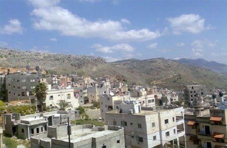
It is located to the southeast of Beit Jann and east of the village of Rameh, rising 570 meters above sea level. Its population was estimated in 1922 at 48 and in 1948 at 129. The number reached 250 in 1961, and by 2010 reached about 700, all of whom are members of the Druze community.
Julis
The village of Julis is located 14 km east of the city of Acre, on a hill rising 150 meters above sea level, and is the birthplace of Sheikh Amin Tarif, the late spiritual leader of the Druze community.
Julis village has great importance for the Arab Druze community, as for hundreds of years, the spiritual leadership of the Druze community in Palestine has resided there. Today, Sheikh Abu Hassan Muwaffaq Tarif, the spiritual leader of the Druze community, lives there. The village also contains the tomb of Sheikh Ali Faris and a shrine for the Prophet Shuaib.
The population of Julis today is about 6,000, all of whom are Druze.
Abu Sinan
The village of Abu Sinan is located northeast of the city of Acre, rising 75 meters above sea level, and is surrounded by the villages of Amqa, Khirbet Jiddin, Kuwaykat, al-Ghabisiyya, al-Sumayriyya, al-Manshiyya, Kafr Yasif, and Yarka.
The population of Abu Sinan in 1922 was 618; in 1945 the number rose to 820, including 30 Muslims, 380 Christians, and the rest Druze.
1948 witnessed a significant increase in the village's population to 1,782, which dropped in 1949 to 1,448 due to the displacement of some residents following the 1948 Nakba.
The population of Abu Sinan at the end of 2008 was about 11,700, 35% of whom belong to the Druze community and the rest are Christians and Muslims.
In Abu Sinan, there is an archaeological site containing cisterns, presses, tombs, cavities carved into the rock, and a millstone carved from granite. It also contains the shrine of the Prophet Zechariah and the shrine of Sheikh al-Hanbali.
Peki'in (Al-Bqei'a)
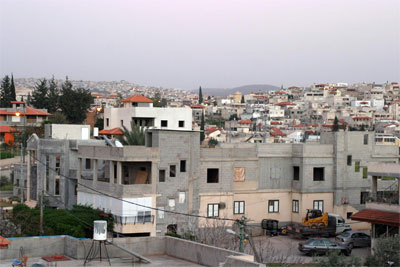
Peki'in is a mountainous village located northeast of the city of Acre, 29 km away. The village rises 620 meters above sea level and is surrounded by the lands of the villages of Suhmata, Kafr Samia, Kisra, Sajur, Beit Jann, and Ein al-Asad. Its residents are from the Druze community, as well as Muslims, Christians, and Jews.
Its population was estimated in 1922 at 652, in 1945 at 990, and in 1948 it reached 1,119, dropping in 1949 to 1,036. It has two Khalwat and the chamber of Sheikh Saleh Abu al-Milh.
Beit Jann
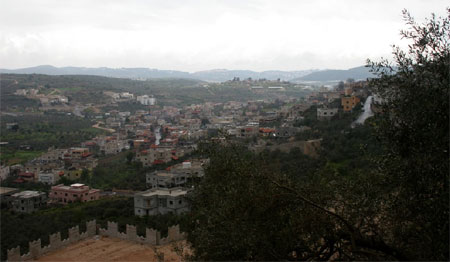
The village of Beit Jann is located in the Galilee, northeast of the city of Acre, 34 km away. The village was built on the ruins of the ancient Canaanite town and fortress "Beit Dagon," the god of food and grain for the Canaanites. During the Crusader period, it was called "Deir Dajan," and when the Druze settled it, the name was corrupted to "Beit Jann."
Druze and Christians lived there, and its population in 1961 was about 2,500, while in 2009 it reached 10,500, 99.7% of whom were Druze. The village has three Khalwat and the shrine of the Prophet "Baha' al-Din," one of the sacred prophets of the Druze community. It also has many ruins.
Jatt
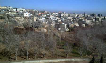
The village of Jatt, whose name means "the press" in the Canaanite language, is located in the Upper Galilee, northeast of the city of Acre, and rises 350 meters above sea level. Its population was estimated in 1922 at 137, in 1945 at 200, and in 1949 it reached 238. Today, the population of Jatt village is nearly 8,000.
In the village, there is an archaeological site containing cisterns, a reservoir built with stones, and tombs carved into the rock.
Hurfeish
The village of Hurfeish is located in the Upper Galilee and is 2 km from the southern Lebanese border, rising 650 meters above sea level. The Druze make up 97% of its population of 5,000, according to Druze sources in 2010. The village is surrounded by four mountains: Mount Adafar, Mount Tawil, Mount Jarmaq, and Mount Nabi Sabalan.
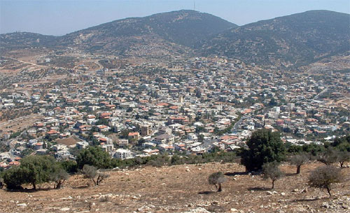
Kafr Samia
The village of Kafr Samia is located northeast of the city of Acre and rises 620 meters above sea level. It is surrounded by the lands of the villages of Suhmata, Peki'in, Kisra, Tarshiha, and Yanuh.
Its population was estimated in 1922 at 171, in 1945 at 300. In 1948, the population of Kafr Samia was 399, dropping in 1949 to 388.
Today, the population of Kafr Samia is about 4,000, and it is a mixed village where Druze, who represent 97% of its residents, live alongside their Christian and Muslim brothers.
The village is considered an archaeological site containing foundations, cisterns, tombs, and land pieces paved with mosaic.
Yanuh
The village of Yanuh is located northeast of the city of Acre, 4.5 km southwest of the town of Tarshiha. Yanuh rises 600 meters above sea level and overlooks many areas because it is located on a series of prominent mountains. It overlooks the entire coastal plain from Ras al-Naqoura to the city of Haifa on the slopes of Mount Carmel.
It was founded by the Canaanites and has been known for thousands of years by this name, which means "to rest" in ancient Semitic languages. In the village, there is the shrine of "Sayyidna Shams (peace be upon him)," which is a sacred shrine for members of the Druze community, where clergy and other members of the community come to pray, seek blessings, and fulfill vows.
The population of Yanuh in 2009, according to Druze sources, was 3,000, all of whom are members of the Druze community.