
Fatima Abdullah wrote in “Asharq Al-Awsat”1. :
Those embarking on a trip to Mazraat El Chouf were promised that the Lebanese weather would be unpredictable, and clouds might conspire with some rain to hide the sun that beautifies outings and cools the air. However, the destination was set despite the weather prospects, starting from Beirut all the way to the vast greenery.
The Chouf region is diverse, between the coast, the upper Chouf, the Iqlim al-Kharrub, Deir al-Qamar, and others; among them is what is called Chouf al-Suweijani, where Mazraat El Chouf is located at the end of its villages, which are immersed in the bounty of nature.
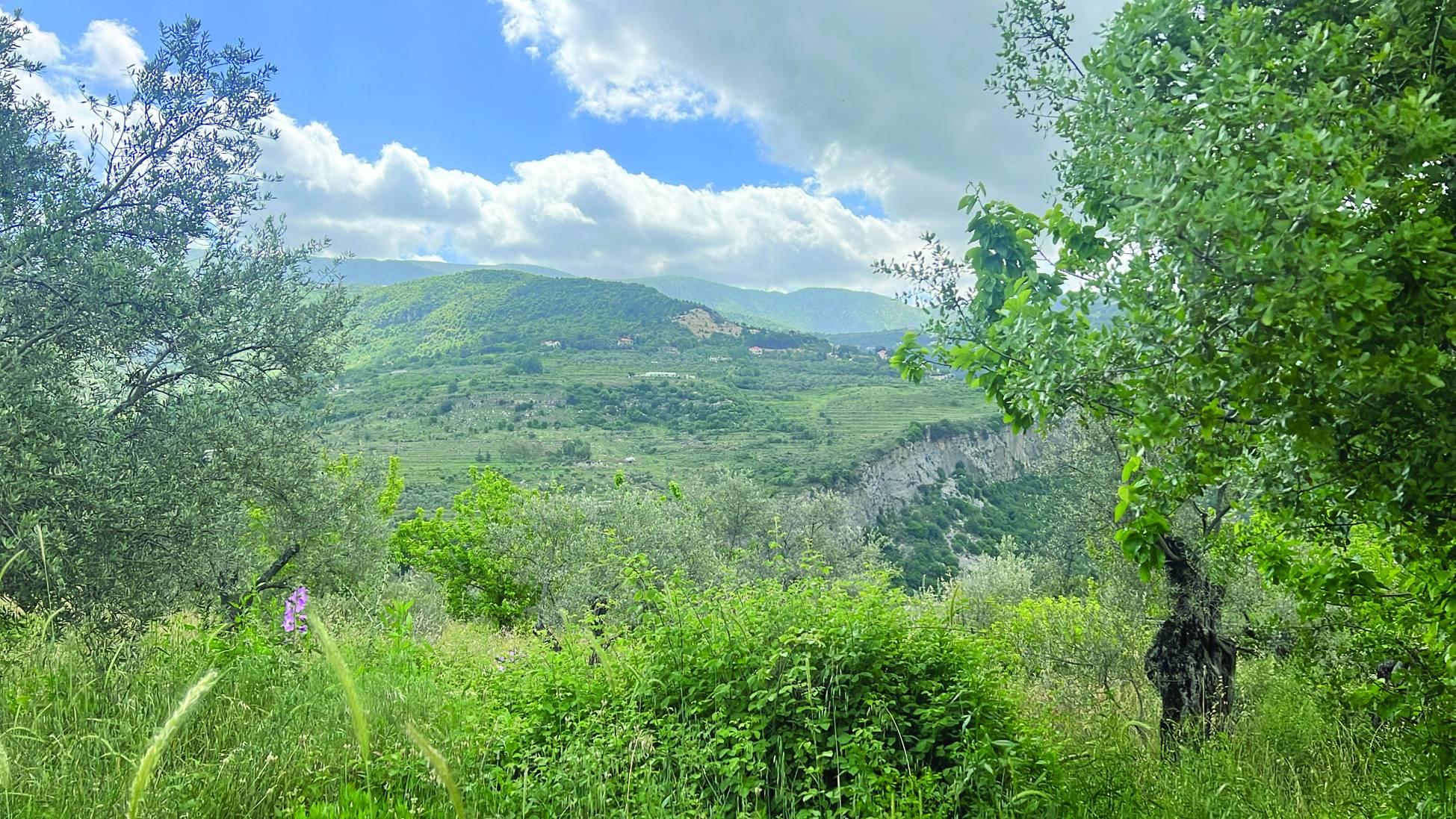
Antiquities add a sense of awe to Mazraat El Chouf that enhances its beauty, including Egyptian ruins about 3,000 years old. In the outskirts of the town overlooking the Bisri Valley, olive groves abound. Some stand side by side as if they were in a moment of ultimate convergence.
Mazraat El Chouf is known as one of the areas that house the oldest olive trees in Lebanon. These green grains, mentioned in the Holy Quran, compete in age with others, following the villages of Kawkaba and Deir Mimas in the south, and Bsharri in northern Lebanon. The trunk is massive; if you wish to hug it, the attempt will not succeed. It requires more than two open arms for the embrace to happen, as a full embrace is completed.
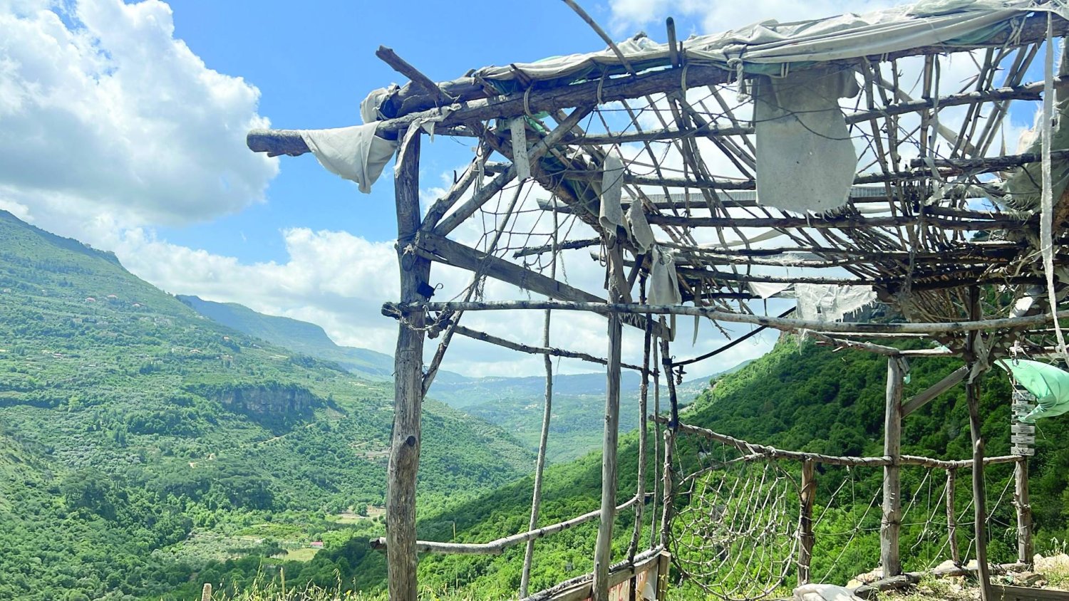
Above a water channel surrounded by trees whose leaves flutter with rapid rhythms due to the stubborn air that refuses to bid farewell to winter, stands a small ancient bridge, its stones confirming the depth of the relationship with time. This is before reaching what is known as "Imad's Rock." Originally, it was called "Bee Rock," but one of the residents of Mazraat El Chouf, named Imad al-Baini, lived on it inside a tent for 17 years, completely separated from others. The guide for this tour says that he spent his life planting, harvesting, and deepening his connection to the earth without other human beings, so his place of residence became known as "Imad's Rock," named after his lifestyle and asceticism.
The rock is the highest in Lebanon. Standing on it, or next to it, means you can look out over a valley submerged in wonderful green space at a depth of 400 to 500 meters. This natural beauty overlooks another that shares its splendor: the Bisri Valley. To the one standing on "Imad's Rock," it appears beautifully formed. The reflection of the clouds, shifting between white and gray, on the green that completely dominates the scene, gives the eye a rest mixed with wonder.
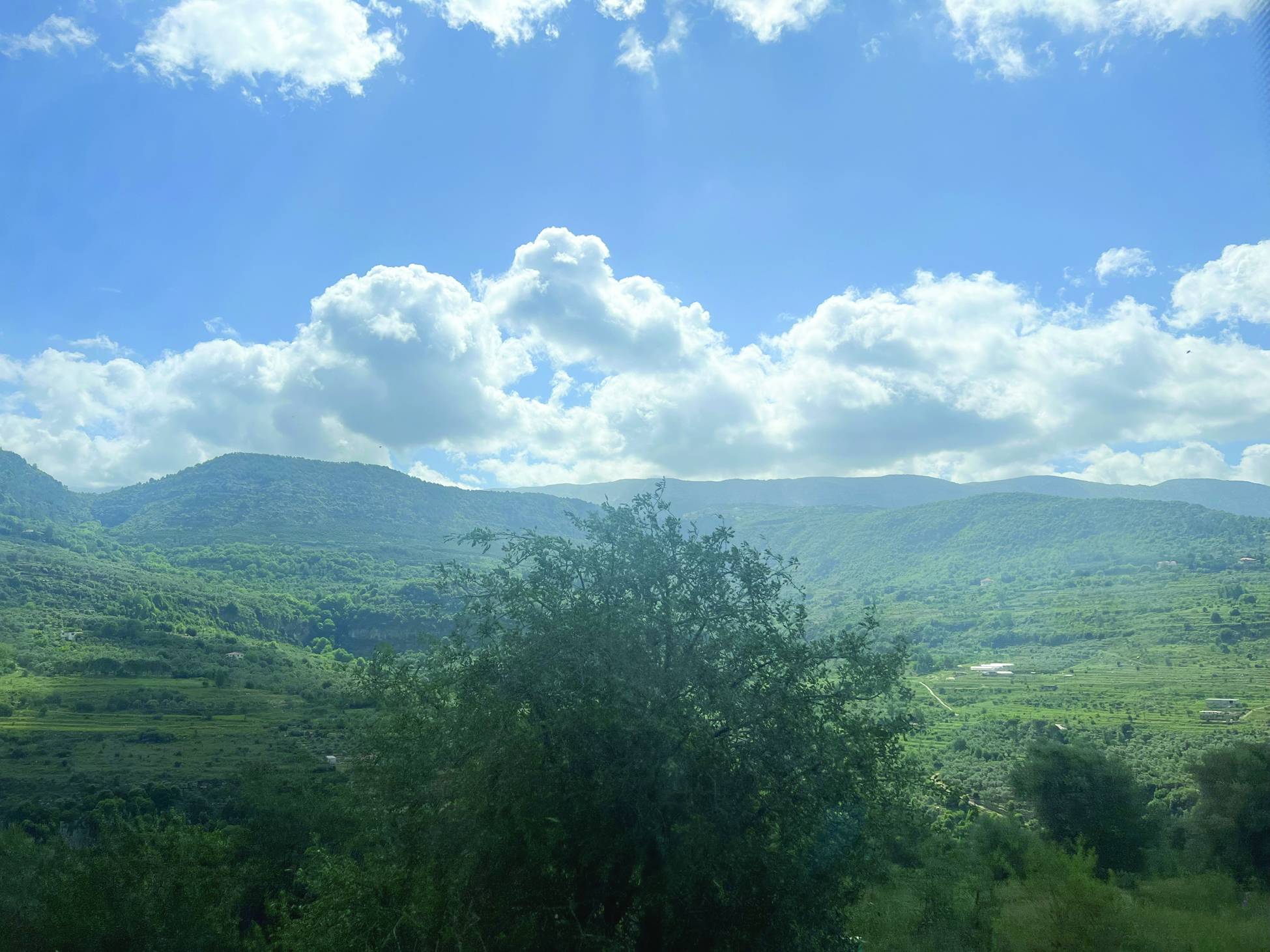
The Bisri Valley appears broad and expansive from a second location, "Mazraat al-Dahr." This valley is the largest agricultural plain in the Mount Lebanon range, while the Damour plain tops the rank of the largest coastal agricultural plain. Agricultural potential is numerous in the valley, and the vast plains as far as the eye can see point to it clearly. The Bisri Valley is one of the most important areas for growing strawberries, avocados, and broad beans on Lebanese soil, in addition to lemons and various types of fruits and vegetables.
Millions of migratory birds cross the Lebanese sky between seasons every year, and some are killed without shame. Despite the persistence of this crime, the fragility of deterrent laws and the obligation to apply them, and most importantly, the lack of accountability for those pointing their rifles at those flocks, Lebanon is still considered one of the most important corridors for migratory birds in the world. The Bisri Valley is the second most important rest stop for flocks after the Aammiq region in the Western Bekaa.
The valley is also known for attracting seagulls and for its vast forest area, and more than 50 archaeological sites, including old monasteries, churches, bridges, and Roman and Phoenician temples.
Along the road, passing through the Baaqline area, which is gradually abandoning its village character and mimicking the density of the city, located after the historic Beiteddine Palace, the Shouf Biosphere Reserve overlooks. This is the largest reserve in Lebanon, containing cedar forests, including the Barouk Cedars and Maasser El Chouf Cedars, extending to the areas of the Jezzine district.
Then the famous Mukhtara Palace appears from the north side. A small village containing a large palace that takes its high place among the low houses. A series of villages form the beginning of the valley at an altitude between 300 and 400 meters, rising to an altitude between 700 and 800 meters. Passing through the village of Kahliouniyeh is the last stop before reaching Mazraat El Chouf, which sits at an altitude of about 900 meters above sea level.
Its name is a reduction of the number of many farms in it, the most important of which is olives. Its altitude is wonderful and its enchanting view overlooks Mount Barouk and Maasser El Chouf, while the Bisri Valley rests at its bottom. Unlike Baaqline, which tends toward urbanization, Mazraat El Chouf still preserves the character of the Lebanese village. It is one of the villages famous for soap “handcrafted” from olive oil.
A Roman staircase appears, which is said to have been walked upon by Jesus Christ on his way from Sidon to the Decapolis; meanwhile, the Bisri Valley looks like the letter “Y” where a river originates on the sides of its valley from two sources: Jezzine and Barouk. This happens while the olive plains show off the age of their trees the closer we get to them, and linden trees are on both sides of the road, leading to the pine forest in the Ghrayfeh area, which is the largest wild pine forest in the Middle East. It is the uniqueness of crossing forests.
Bisri in Aramaic means “Neighbor of the Moon”; among its surroundings rests the miraculous church of “Our Lady of Bisri,” the second oldest church still in use in Lebanon. The beauty of the greenery is incomparable.